By FGP on 5th January 2021


GIS (Geographic Information System) is so widely used in modern days it is easy to get blasé about its role at a professional level. FGP have a dedicated GIS Department, so where better to ask where the technology is taking us and what are the modern day possibilities?
GIS is most commonly mistaken to mean the same thing as GPS (Global Positioning System). GIS uses GPS data in conjunction with other data, including measurements, to produce a complete map.
The GIS product is not just a map. It involves software that blends the power of a map with the power of a database to allow people to create, manage and analyse information, particularly information based on a location. Working GIS integrates five key components - hardware, software, data, people, and methods; all reliant on one another. GIS is only as good as its data; that in turn relies on good people to collect, collate and present that data. Data might not be from one group. For example, at FGP, through intergroup collaboration different departments contribute data for the different layers of any one map.
The end product provides an immensely powerful presentation tool. It has been said that the brain is a spatial organ. When we have a sense of “where” in a situation, we’re better able to process and retain information. Geographical insight allows people to understand what’s going on around them in different ways. A large part of gaining that geographical insight is from visual presentation.
Currently topical, is the geospatial and spatial-statistical analysis for the geographical dimension of the COVID-19 pandemic. An approach that has been used at different levels to map many disease patterns historically, from the discovery of a smallpox vaccine onwards. GIS systems are used to protect the environment and in disaster management. GIS helps with risk management analysis and mitigation, by displaying areas likely to be prone to natural or man-made disasters.
FGP understandably operate professional grade equipment. Since March 2020 FGP have been using a bang up to date GNSS receiver and handheld device. This allows precision positioning down to 1cm accuracy, particularly important for taking levels. The set up provides full topographic surveys, producing 3D visualisations calculating volumes at all scales. Using Virtual Reference Station (VRS) networks, it allows high accuracy surveys in locations where other GPS receivers might not be able to get a signal.
The capability proves particularly important when calculating soil movements, as well as import and extraction of soils or waste materials. Space within a construction area is often restricted and by calculating areas needed accurately, that space can be utilised efficiently. The information can be provided in different software programmes so that all data types are covered and can seamlessly synchronise with client software.
Other applications in use by FGP:
- Full field/site topographic survey for pre and post construction levels
- Recording depths of services installed or investigated
- Ditch and bank profile production
- Topsoil and subsoil stockpile volume calculations
- Cut and fill analysis
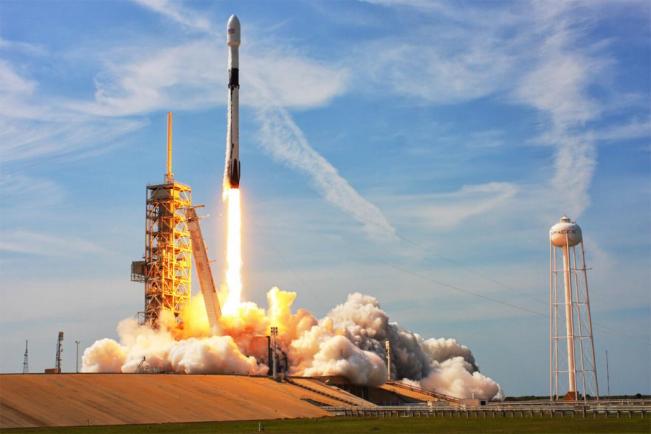
The level of accuracy has moved to one centimetre from five metres not that long ago. GPS III Satellites are being launched in the US over the next few years. The GPS III program is delivering advanced capabilities for the United States Space Force, and a “gold standard” for position, navigation and timing. These will give yet better accuracy and coverage in civilian applications – previously difficult to map locations such as indoors or heavy undergrowth will become accessible to GPS based surveys.
The next challenge for GIS? 4D mapping which will be particularly useful in the urban situation where clusters of services are then easier to map and plan.
Spare a thought for the early Surveyors with their chains, tapes measures and rods. Ordnance Survey Chain surveys from the nineteenth century have only been eclipsed by GPS and GIS for accuracy this century.