By FGP on 2nd August 2019


Or so the soft tones of actor Leslie Phillips concluded in the 90’s Heineken Advertisement, where one utility operator asks another if they can share the same trench down a busy city street to reduce the disruption of repeat trenching. Twenty years on and the notion of closer collaboration between different utility construction projects is beginning to gather pace. The holistic approach seen in the London 2050 Infrastructure Plan has prompted thinking at a national level.
Now the UK Geospatial Commission plans to bring together existing data on underground cables and pipes and map them digitally to create a national register of utility assets. Apart from protecting the assets the initiative has a positive safety effect by helping to prevent workers accidentally hitting pipelines or cables.
Tom Clarke who heads up the GIS department has followed up on one of the pilot projects being undertaken by Northumbrian Water in the north-east. He comments that if the funding can be maintained to take the project to a working level then the benefits will be immense. It is not only utilities that can be recorded on the register but records of archaeology including former industrial sites and other former building footprints. Better still, is that the ambition is to allow public discovery to be fed into the system to steadily improve the accuracy of the records. So if a farmer discovers a water main in a position that is recorded incorrectly the new survey fix can be reported and the record updated.
If the register functions properly, FGP’s role may adapt to rubber stamping and on the ground verification with CAT surveys.
The FGP team routinely check utility locations for clients both for as-built records and to ensure that above ground markers are correctly located. Locations recorded by the team could, in the future, be fed to the National Register to protect client assets.
The GIS department is already one of the busiest desks at FGP and is heavily involved in providing utility information. Contractors and developers planning excavations or other works need quick and up to date information on the position of existing services in the vicinity. Solicitors often need to know similar information as part of their searches prior to property transactions. This is information vital for feasibility surveys, design, cost management and meeting Health and Safety and CDM regulations. The addition of a National Register will improve the reliability of information to a degree not currently achievable.
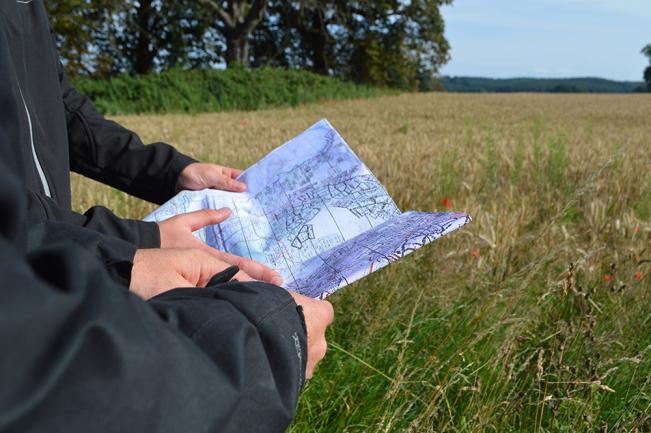
It will be sometime before the register is properly operational. Meantime, FGP will continue to undertake to produce reports within 10 working days identifying utility providers and providing a high-quality ESRI ARC map to show where the assets are. Customers of the service send an email to FGP with coordinates and a brief description of the site concerned. The location is then geo-referenced and the searches for underground and over-ground services begin. Additional maps can be requested all to the same high standard as the main report.
The hope has to be that a similar approach can be taken towards reducing repeat street works with utility providers becoming more aware of one another’s projects.
For a detailed discussion contact Tom Clarke - thomas.clarke@fgplimited.co.uk